Student Blog: “Using Participatory Science for Habitat Monitoring” by Ann Marsolais

Monitoring habitats is crucial for their conservation. Like an annual checkup, monitoring can reveal problems as they arise and document current conditions. The MCRS 2024-2025 Mesquite Bosque Health Capstone Project’s primary focus is to create a monitoring plan for the mesquite bosques in Anza-Borrego Desert State Park and Borrego Springs, CA. These bosques, or forests in Spanish, are biodiversity hotspots supporting a wide range of wildlife. The Honey Mesquite (Neltuma odorata) provides much-needed food, shelter, and nesting habitat in California’s desert. Amongst the mesquite trees, visitors can find numerous understory plants growing along with the trees, search for animal tracks, and observe both local desert and migratory birds. Some of the most common animals in the bosques are Phainopepla (Phainopepla nitens), Coyotes (Canis latrans), and Black-tailed Jackrabbits (Lepus californicus).
The bosques, and all the wildlife that depend on them, are at risk from reduced access to groundwater, a water source necessary for the trees’ survival. Documenting species that rely on mesquite bosques near Clark Dry Lake and Borrego Sink is a key component of understanding the condition of these habitats and developing a monitoring plan for the Borrego Springs area. This work will aid future conservation efforts in the bosques. There are many ways conservation scientists can survey species and monitor habitats, including camera traps and avian point count surveys MCRS graduate students used on this project. However, these can be both timeconsuming and resource-intensive. Participatory science can provide extensive free datasets to supplement conventional monitoring methods, capturing the fullest extent of biodiversity possible. What is more, participatory science, or science anyone can volunteer or contribute to, can help engage and educate the public about conservation concerns. There are many ways to engage in participatory science. During this project, my fellow MCRS graduate students and I used iNaturalist and eBird.

iNaturalist is a participatory science platform that allows users to record nature observations and crowd-source species identifications via a user-friendly website and mobile application. This platform provides detailed species information pages, encouraging users to learn about nature while they contribute valuable biodiversity data. It can also be partnered with iNaturalist’s AI identification app, Seek, helping anyone identify more common species regardless of expertise. The site’s interactive mapping tool on the iNaturalist Observations page allows users and scientists alike to explore publicly available iNaturalist observations. Our team used this feature to record observations made in the mesquite bosques near Clark Dry Lake and Borrego Sink. We incorporated “Research Grade” observations into our species inventory. These observations have been confirmed by at least two independent sources, helping to reduce incorrect identifications (iNat, How it Works n.d.). This helped ensure that only highquality data was used, a common concern when working with participatory science data sets. A total of 261 different species and subspecies were found between these bosques, with observations dating from 2009-2025 (iNat, Observations 2025).
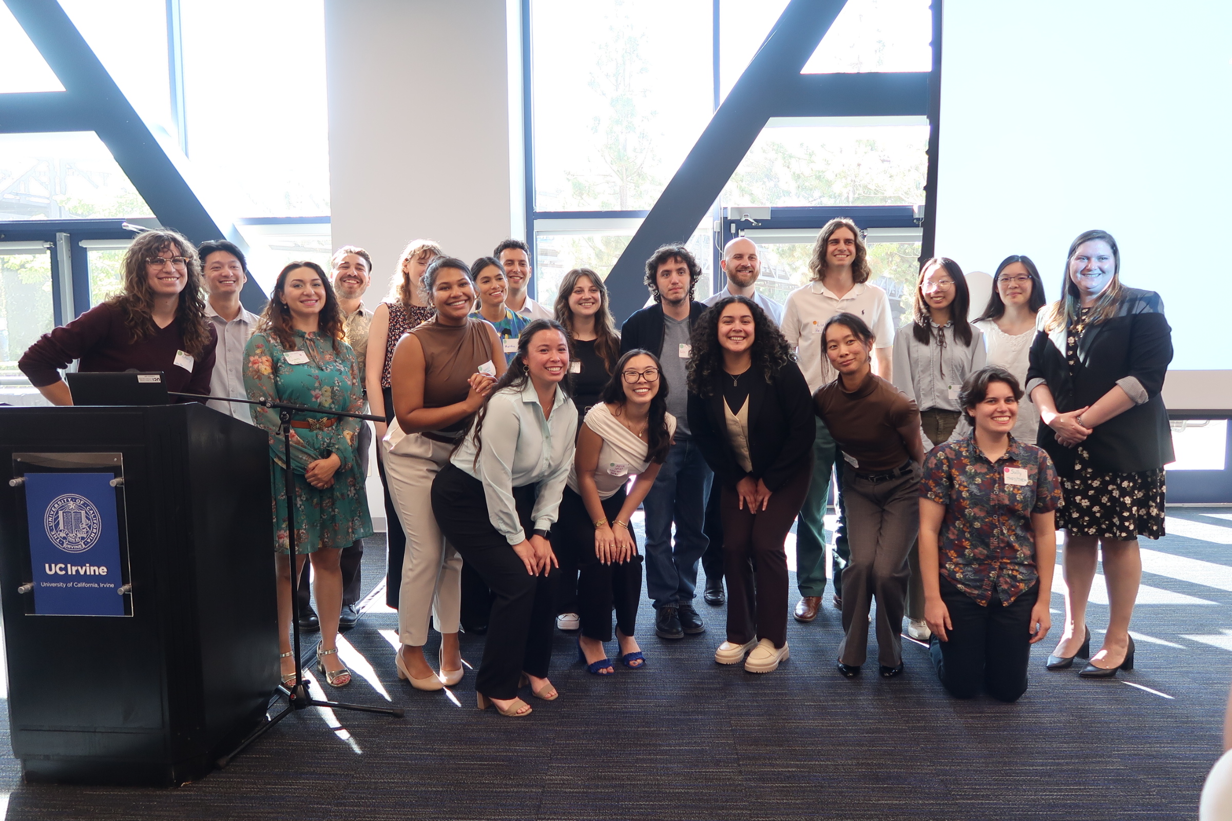
iNaturalist also allows groups to create a project where data can be added by project members and further filtered to meet individual project needs. Conducting a bioblitz, where volunteers work to cover and document a given area, is one popular application for iNaturalist projects. The MCRS program hosted a bioblitz event for MCRS students near Clark Dry Lake during Fall 2023. Our team was among the students in attendance and thoroughly enjoyed exploring the bosque. In addition to the 2023 GDE Project iNat Project created by UCI staff for the UCI bioblitz, I also created the UCI Mesquite Bosque GDE Capstone iNat Project to log incidental species observations during our own field visits and data collection efforts (Heesch & Grillo 2023, Marsolais & Lee 2024). It is a quick and easy way to organize onsite photos, and even generate summary data for your observations. Data from these projects helped us further document plant and animal species utilizing the mesquite bosque habitat.

eBird is a taxa-specific participatory science platform created by the Cornell Lab of Ornithology that allows users to log bird checklists and keep track of the species they have observed over time. This data is archived and shared for scientific, conservation, and educational purposes. When coupled with Cornell Lab’s bird identification application, Merlin, it is a powerful tool for novice bird watchers. The platform checklist system also attracts more advanced birders by encouraging users to not only log single incidental sightings but also to document all birds seen or heard during a given outing and period (eBird n.d.). This helps to capture data on not only charismatic species but all birds present, a common challenge for platforms like this. Archived data can be requested on the website and retrieved with R statistical software. For our project, I further filtered the data to species with coordinate data located at our specific mesquite bosques using ArcGIS Online. While it does require some technical expertise with R, and potentially ArcGIS, to process, the eBird dataset is well worth the effort. Our sites had observations dating back as far as the 1970s. Long-term data sets are invaluable for comparing changes in species presence across time. For our purposes, we included observations from 2015-2025, which totaled 203 different species and subspecies (eBird Basic Dataset 2025).
eBird and iNaturalist allowed us to document far more biodiversity at our mesquite bosque locations than what we could have done with conventional monitoring methods alone. Our team and the 2023-2024 Mesquite Bosque Heath and Groundwater Availability Project’s team documented a total of 71 different types of animals over 2 years via camera traps, avian point count surveys, and two different invertebrate survey methods. As previously stated, eBird documented 203 different birds over 10 years, and iNaturalist documented 261 organisms over 16 years. These platforms allowed us to expand our reach across our locations in terms of both the years observations were made and the amount of area covered. Our surveys could only be completed in smaller sites within each bosque. Using eBird and iNaturalist data was also comparatively less costly and labor-intensive. Camera traps have a relatively high upfront cost and, depending on methods, can take hundreds of hours to process photos. That said, Participatory science is by no means a complete replacement for conventional methods, given conventional methods’ precision and accuracy. However, they are incredibly useful for supplementing other monitoring efforts when faced with limited budget and resources. Platforms like eBird and iNaturalist have also incorporated features like “Research Grade” observations and checklists to reduce some of the flaws in participatory science. I found both of these platforms incredibly helpful for not only documenting species, but for improving my own identification skills. I highly recommend them for any novice birdwatcher or nature lover. Go get started on some participatory science today! Who knows what research your observations could help support!

References
eBird. (n.d.). About eBird. Cornell Lab. Retrieved February 14, 2025. https://ebird.org/ebird/about
eBird Basic Dataset. (January 2025). Version: EBD_relJan-2025. Cornell Lab of Ornithology, Ithaca, New York.
Heesch, Haily. & Grillo, Marisa. (October 30, 2023). 2023 GDE Bioblitz. iNaturalist Projects. Retrieved February 14, 2025. https://www.inaturalist.org/projects/2023-gde-bioblitz
iNaturalist (iNat). Observations. (2025). iNaturalist. Retrieved February 14, 2025. https://www.inaturalist.org/observations?nelat=33.35742379942346&nelng=-
116.1551022205872&subview=map&swlat=33.157608394288665&swlng=- 116.39199492078251
iNaturalist (iNat). How it Works. (n.d.). iNaturalist. Retrieved February 14, 2025.
https://www.inaturalist.org/
Marsolais, Ann. & Lee, Lauryn. (December 13,2024). UCI Mesquite Bosque GDE Capstone
Project. iNaturalist Projects. Retrieved February 14, 2025.
https://www.inaturalist.org/projects/uci-mesquite-bosque-gde-capstone-project
All photos are taken and provided by the author.
This blog is not sponsored by iNaturalist or Cornell Labs.
Thank you to everyone at Tubb Canyon Desert Conservancy, the Steele Burnand Anza-Borrego
Desert Research Center, the San Diego Natural History Museum, Anza-Borrego Desert State
Park, the Anza-Borrego Christmas Bird Count, and the University of California, Irvine for your
support on our project.


