Our program’s capstone experience is a team-based project focused on a community-engaged collaboration extending across the program’s second year.
During their second year, students are required to complete 12 units of a group capstone project. Groups of students (3-6) will complete a project involving a local partner/stakeholder and organized by CEB to address a current environmental problem, giving the students an opportunity to work directly with practitioners to design, develop, conduct, and implement a project. Group projects must be:
- Solution oriented – Projects should yield specific policy or management recommendations, contain multidisciplinary elements, and align with student and partner interests.
- Framed by Active Adaptive Management – Group project will be nested within an active adaptive management framework and will include a review of literature and analysis of data.
Capstone projects will produce a written document and be presented to the broader community of conservation and restoration science professionals in southern California at an annual workshop in the Spring.
2025-26 Capstone Projects:
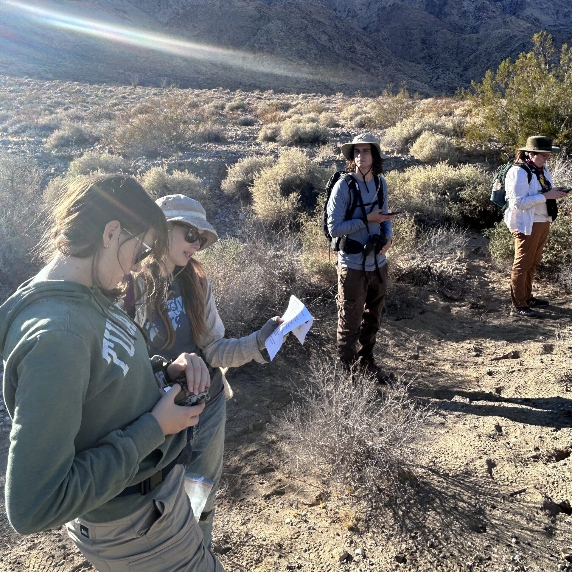
One consequence of increasing urbanization is the expansion of the wildland-urban interface, or WUI. In fire-prone regions such as Southern California, the WUI is maintained through fuel modification to reduce the threat of wildfires. Typically, perennial vegetation is reduced and annual vegetation removed to reduce the possibility of ignition in these zones. Focusing on the zone immediately adjacent to homes reduces home loss more than larger-scale efforts of fuel modification. Yet removal of native shrubs in these zones can lead to reduced biodiversity. Mowing, one common method for maintaining fuel modification zones, can simply move biomass from perennial native cover to non-native, invasive annual cover. The shift from native shrub cover to invasive annual grass cover leads to increased flammability, extended fire season length, and increased fire size. In the area immediately adjacent to homes, reducing ignitability is important for fire safety.
In a collaboration between the Center for Environmental Biology, Laguna Canyon Foundation, and Corona del Mar High School, we designed a project to assess the effectiveness of the fuel modification zones (FMZs) in terms of increasing plant moisture and decreasing ignitable fuel load. Measurements of moisture content, water use, size, and health of native shrubs growing inside and outside of FMZs in Laguna Beach, CA will provide an assessment of maintenance effects on fire risk. Measurements taken at multiple sites will help tease apart abiotic variation from the effects of FMZ management. The MCRS capstone team will:
- Determine the effects of FMZs on native shrub foliar moisture content, plant community composition, fuel load, and ground cover.
- Evaluate how moisture content is influenced by abiotic factors, including slope, aspect, slope position, and fire history.
- Clarify the influence of FMZs on ignitability and make recommendations for improving FMZ maintenance.
Oak woodlands are a critical habitat in Southern California, hosting a wide range of species at multiple trophic levels. Oak woodlands face several threats, including urbanization, invasive species (GSOB is one invasive pest of concern), and climate change . Increased frequency of high intensity fires that damage the crown of mature trees and can cause mortality of seedlings and saplings are an additional threat. The combination of impacts makes it important to identify methods that are useful for restoring healthy and functioning oak woodland habitats.
Oak trees can be restored through the planting of acorns, seedlings, or saplings. In a collaborative project with the Irvine Ranch Conservancy, The Nature Conservancy, and Inside the Outdoors, the Center for Biology Internship program has developed an experiment for our 2023-24 “project of the year.” We are comparing the success of oaks planted as acorns or seedlings in four different microclimates: (1) Under the canopy of an adult oak; (2) Under the canopy of a dead and fallen oak tree; (3) Next to an individual Salvia apiana; and (4) In the open. So far, we have observed high survival rates and germination rates in all four microclimates, but additional monitoring will be necessary to understand optimal restoration methods. Students working on this capstone project will:
- Monitor the growth of oaks in the different microclimates
- Measure abiotic variables in each microclimate
- Decide on a set of ecophysiological measurements to help understand oak response to varying microclimate conditions
- Work with IRC to engage Delhi high school students in ecological restoration
Depending on interest, students may also work with Inside the Outdoors to help students identify microclimates on their school campuses that will be suitable for oak trees to be planted.
Seeds may remain dormant in the soil for many years prior to germinating. Germination typically increases in years with more rain, although temperature, light, and other cues also influence composition of germinating seedlings and resulting community composition. Grassland communities across Orange County are heavily invaded by non-native, annual species. There seem to be more native species in wet years that were preceded by many dry years, possibly because seeds of CA natives are better able to withstand drought by remaining dormant in the seed bank. If non-natives germinate in dry years and die without reproducing, their numbers decrease, providing natives with less competition when a wet year eventually arrives. The UCI Center for Environmental Biology, supported by the Natural Communities Coalition and The Nature Conservancy, has been monitoring grassland transects across Orange County. Samples of the seedbank have been taken since 2015. The goal of this capstone project is to test the hypothesis that the proportion of native species in the seed bank is related to precipitation and above-ground community composition. For your capstone project, you will:
- Separate seeds from the soil using the float method and/or through germination tests
- Identify seeds to species based on seed morphology and/or germination
- Calculate the proportion of native species in the seedbank
- Relate your findings to exiting data on above-ground community composition, rainfall, and temperature
Additional directions could include germination studies to evaluate seed banking abilities of key invasive species such as Bromus diandrus and Brassica nigra, developing an image library of seed morphology for future researchers, and relating changes in seed bank composition to abiotic variables.
Orange County Water District (OCWD) is responsible for managing the groundwater basin that provides the drinking water for 2.5 million people in north and central Orange County. To secure long-term water reliability, OCWD partners with the U.S. Army Corps of Engineers (the Corps) to store millions of gallons of stormwater behind Prado Dam in Corona. The water is released at rates that allow for optimal percolation into the aquifer, minimizing the amount of potential drinking water that would be lost to the ocean. OCWD is currently working with the Corps and the U.S. Fish and Wildlife Service (USFWS) to increase the amount of water permitted to be stored behind Prado Dam. As the water level behind the dam increases, care must be taken to avoid impacts to the habitat and sensitive species living behind the dam, specifically the least Bell’s vireo, a state and federally endangered bird. OCWD has managed the area behind Prado Dam, known as the Prado Basin, to help protect the least Bell’s vireo, and has been successful in increasing its population from 19 pairs in 1986 to over 300 pairs today. The Prado least Bell’s Vireo population is one of only three increasing populations of least Bell’s vireo and one of the largest remaining populations.
Mulefat Inundation Study
A potential impact to the habitat behind the dam would be the inundation of mulefat (Baccharis salicifolia), a preferred nesting substrate of the least Bell’s vireo. While mulefat is generally associated with wetlands and riparian habitat, it has adapted to surviving on very little rainfall. Not much is known, however, about its response to flooding and inundation. This study is looking to determine the length oftime mulefat can survive while inundated so that management decisions can be made regarding how much water can be held behind Prado Dam without affecting habitat.
Mulefat will be planted in controlled, dry wetland cells in an area of Prado Dam above the current water storage elevation. The amount of water into these cells can be controlled via a set of weir boards, allowing the cells to be flooded at a controlled rate to a controlled depth. Although this project will build upon the results of last year’s study, students should design an experiment that would answer the following question(s):
- How does the age of an individual mulefat plant affect its response to inundation?
- How does the height of an individual mulefat plant affect its survival?
Prado Basin Least Bell’s Vireo Population Analysis
In 2024, 773 vireo territories were identified within Prado Basin. This is the highest number of territories since monitoring began. However, current 2025 data suggests either a late start or a decline in population. Vireo population in Prado Basin has fluctuated over time since monitoring began, but no cause has been identified for increases or decreases in population. This study is looking to identify potential correlations between annual vireo population in Prado Basin with environmental factors. Long-term data can be provided for vireo population numbers. The following question(s) should be answered:
How are annual vireo population numbers with Prado Basin correlated with environmental factors, such as:
- Precipitation (in both breeding grounds and wintering grounds)
- Temperatures (in both breeding grounds and wintering grounds)
- Other factors to be identified by student researchers (NDVI analysis, for example)
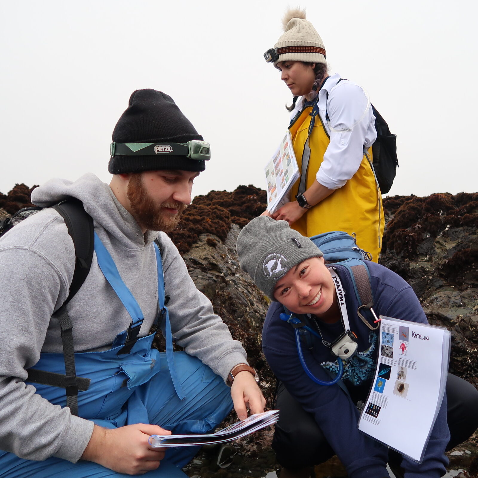
Intertidal algae along the California coast are tremendously diverse and important marine primary producers, with dozens to hundreds of species occupying specialized ecological niches associated with factors such as temperature, wave exposure, desiccation tolerance, light availability, latitude, and resistance to herbivory. These communities are threatened by climate change, species invasions, nutrient enrichment, and other anthropogenic stressors. Declines of species are underway, and local and regional species extirpations and extinctions are possible in the future. Understanding the functional consequences of species losses – how those losses are likely to affect ecosystem functioning – is therefore a pressing concern. It is essential to understand the roles of species and especially which species are unique – i.e., they possess attributes unlike other species and their loss could greatly impact the system – versus redundant – i.e., there are other similar species there, likely playing similar roles. The proposed capstone project will examine these questions as part of an ongoing project with Dr. Matthew Bracken here at UC Irvine.
So far, Dr. Bracken and his group have conducted analyses of seaweed traits to visualize community trait structure in both northern and southern California. This capstone team will use the dataset to develop a proposal for experimental manipulations to test the consequences of the loss of functionally unique versus functionally redundant species and then – depending on time and resources – conduct experimental manipulations. Fieldwork could take place locally and/or at sites in Sonoma and/or Mendocino Counties, based at the Bodega Marine Laboratory. This has important conservation implications because functionally unique species – those with traits different from others in the system – could be prioritized in planning for conservation and restoration because the loss of those species could cause their unique roles to be lost.
Depending on team interest, this project also has the potential to engage community partners such as Crystal Cove State Park ecologists to develop a trait-based conservation plan for intertidal systems / impact analysis in the park, or to produce communication materials for a public audience.
At Hubbs-SeaWorld Research Institute, we spawn and raise white seabass (Atractoscion nobilis), California halibut (Paralichthys californicus), and California yellowtail (Seriola dorsalis). During the larval rearing stage, fish may be susceptible to crashes caused by bacterial pathogens or bacterial imbalance. We try to overcome this risk by sanitizing eggs before they are stocked into our recirculating aquaculture systems (RAS), sanitizing the live feed they receive, and only providing filtered and UV-sterilized seawater. However, this limits exposure of fish to a normal community of microbes early in life, which could be important for disease prevention later in life. We recently tried implementing a commercial probiotic called SANOLIFE® MIC, but have only been exposing the fish tanks and live feeds to this probiotic for 20 minutes in static baths. Based on discussion with collaborators and a short review of the literature, this may not be enough time to actually impact the microbial community and/or permit biofilm development.
Our goal is to conduct experiments to determine the best possible method for dosing probiotics or establishing stable microbial communities in our rearing systems. The key to consistency in larval rearing success over time is the ability to recreate and maintain the same conditions within the tanks over the course of the larval period and from one larval stock to the next. Therefore, we will be preparing a research proposal to investigate methods for creating microbially stable RAS. This will involve searching for funding opportunities, doing an in-depth literature review, conducting small-scale pilot projects for proof-of-concept, and writing up the research proposal.
The expectation is that the team will work remotely with the science advisor during the literature review, funding search, and proposal writing stage. Early in the fall, it would be best to conduct one in-person tour and meeting at Hubbs-SeaWorld Research Institute in San Diego, CA, to go over our larval system design. Pilot experiments are likely to occur during the winter quarter and could require the team or some of the team to be in person at Hubbs-SeaWorld Research Institute in San Diego, CA for several days (e.g. 2 days a week for 5 weeks, or 2 weeks M-F), depending on the pilot experiment design (which will be determined collaboratively with the students and advisor).
Possible project components include:
- In-depth literature review of probiotics and microbially stable/mature communities in recirculating aquaculture systems
- Search for potential funding sources
- Fall: look for smaller student research awards that could be dispersed in early 2026
- Spring: look for larger requests for proposals relevant to our proposed methods to support the continuation of the research
- Conduct pilot experiments with RAS tanks, bacterial culturing, and/or bacterial sequencing (unlikely to include fish during this round)
- Analysis of pilot experiment data
- FINAL DELIVERABLE: Write a research proposal based on literature review and pilot experiments to conduct a large-scale investigation of microbial management in the Hubbs-SeaWorld Research Institute RAS systems using probiotics or methods for community stability.
2024-25 Capstone Projects:
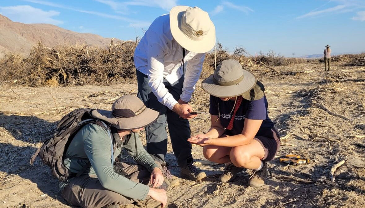
Groves of mesquite trees, also referred to by the Spanish term “mesquite bosques,” construct a biodiversity hotspot that sustains a unique collection of plant, insect, reptile, bird, and mammal species in the drylands of the southwestern U.S. Importantly, mesquite are facultative phreatophytes meaning that they have roots that extend to the water table as well as more shallow roots that take advantage of surface water. Because mesquite can use groundwater they are an important consideration in any Groundwater Sustainability Plan (GSP). Due to a 2015 law, the Sustainable Groundwater Management Act, any basin in California that extracts groundwater in a way that is considered harmful to the community and environment is considered critically overdrafted and must create a GSP that lays out how the basin will ramp down its water use over the next 20 years. All users of groundwater, including plants, must be included to get an accurate assessment of groundwater use and therefore determine how much farmers, golf courses, and community members will need to decrease their water use.
In Borrego Springs, a 100% groundwater community in eastern San Diego county, mesquite are not included in the valley’s GSP because it is argued that the mesquite are no longer able to reach groundwater. Though groundwater has declined by over 50 feet in some parts of the mesquite bosque, mesquite are some of the deepest rooted plants in the world. This capstone project aims to prove that the mesquite bosque in Borrego Springs is healthy and functioning and that it should be included in the GSP. As an important part of that goal, we will assess the flora and fauna of the mesquite bosque using wildlife cameras, searches of existing databases, and already completed floristic surveys. In addition to writing a technical report summarizing findings of plant and animal diversity, a core component of this project is developing a monitoring plan that provides a course of action for future monitoring of both animals and vegetation.
Project components, depending on interest of student participants, may include:
- Develop a monitoring plan for vegetation and animals associated with the mesquite bosque: identify important plant and animal species and lay out methods for detecting change over time through targeted surveys of those particular species
- Wildlife camera analysis: students will assess the richness and seasonality of wildlife in the mesquite bosque through the analysis of camera images from already established cameras
- Field work: collection of baseline data on insect, bird, or other species diversity
- Stakeholder engagement: if desired, students may attend monthly board meetings that provide insight into the complicated task of decreasing groundwater use in a community entirely dependent on groundwater
- Science Communication/Networking: Students could also have the opportunity to share their findings with the community at an open house at the research center in Borrego Springs
Borrego Springs is a 100% groundwater dependent community in eastern San Diego County that is required to reduce its groundwater use by 76% by 2040. One of the most significant means of reducing groundwater consumption will be permanently fallowing irrigated agricultural land. There are serious risks to the natural desert landscape and the local community from standard fallowing practice, including dust, invasive plants, visual blight in a tourism-dominated economy, and barriers to the establishment of native habitat.
A unique challenge presented by the fallowing of citrus orchards is how to manage dust, make use or dispose of dead trees, and facilitate physical and biological processes important to the development of a natural desert landscape. To address this, we have established three types of sand fences to assess the most effective methods for permanently fallowing citrus orchards in Borrego Springs. The treatments include using the dead trees from the orchard to create tree fences, scattering the dead trees to promote a more natural flow of wind and water, and putting in commercial sand fences. To assess the efficacy of the treatments, we will measure dust deposition, erosion, and plant recruitment.
Project components, depending on interest of student participants, may include:
- Field work: collection of data on dust deposition, erosion, and plant recruitment. If resources are available, we may be able to plant shrubs and/or seed the treatment area to assess the efficacy of more active vegetation restoration.
- Data analysis: students will assess the effectiveness of each sand fence treatment
- Stakeholder engagement: if desired, students may attend monthly board meetings that provide insight into the complicated task of decreasing groundwater use in a community entirely dependent on groundwater
- Science Communication/Networking: Students could also have the opportunity to share their findings with the community at an open house at the research center in Borrego Springs, if desired
Orange County Water District (OCWD) is responsible for managing the groundwater basin that provides the drinking water for 2.5 million people in north and central Orange County. To secure long-term water reliability, OCWD partners with the U.S. Army Corps of Engineers (the Corps) to store millions of gallons of stormwater behind Prado Dam in Corona. The water is released at rates that allow for optimal percolation into the aquifer, minimizing the amount of potential drinking water that would be lost to the ocean. OCWD is currently working with the Corps and the U.S. Fish and Wildlife Service (USFWS) to increase the amount of water permitted to be stored behind Prado Dam. As the water level behind the dam increases, care must be taken to avoid impacts to the habitat and sensitive species living behind the dam, specifically the least Bell’s vireo, a state and federally endangered bird. OCWD has managed the area behind Prado Dam, known as the Prado Basin, to help protect the least Bell’s vireo, and has been successful in increasing its population from 19 pairs in 1986 to over 300 pairs today. The Prado least Bell’s Vireo population is one of only three increasing populations of least Bell’s vireo, and one of the largest remaining populations.
A potential impact to the habitat behind the dam would be the inundation of mulefat (Baccharis salicifolia), a preferred nesting substrate of the least Bell’s vireo. While mulefat is generally associated with wetlands and riparian habitat, it has adapted to surviving on very little raifnfall. Not much is known, however, about its response to flooding and inundation. This study is looking to determine the length of time mulefat can survive while inundated so that management decisions can be made regarding how much water can be held behind Prado Dam without affecting habitat.
Mulefat will be planted in controlled, dry wetland cells in an area of Prado Dam above the current water storage elevation. The amount of water into these cells can be controlled via a set of weir boards, allowing the cells to be flooded at a controlled rate to a controlled depth. Students should design an experiment that would answer the following question(s):
- How long can mulefat survive while inundated? (primary research question)
- Does survival depend upon the age of the plant?
- Does survival depend upon the depth of flooding (fully vs. partially inundated)?
In 2023, 714 vireo territories were identified within Prado Basin. This is the second highest number of territories since monitoring began. While the general trend since 1986 has been an increase in vireo numbers, there is debate over whether the Prado Basin is reaching is carrying capacity for least Bell’s vireo and if further increases in population can be expected. Furthermore, while long-term data exist on vireo populations, further analysis is required to fully understand the vireo story.
Long-term data can be provided for vireo population numbers. The following question(s) should be answered:
- What is the carrying capacity of Prado Basin for least Bell’s vireo? (Research into potential carrying capacity models should be conducted and one should be developed and used to calculate the carrying capacity of Prado Basin for least Bell’s vireo.) (primary research question)
- Does proximity of a nest to water affect the productivity of least Bell’s vireo? (Data analysis)
- Do changes in vireo population over time correlate to environmental data? (Data analysis)
- Temperature
- Rainfall
- Groundwater levels
Oak woodlands are a critical habitat in Southern California, hosting a wide range of species at multiple trophic levels. Oak woodlands face several threats, including urbanization, invasive species (GSOB is one invasive pest of concern), and climate change . Increased frequency of high intensity fires that damage the crown of mature trees and can cause mortality of seedlings and saplings are an additional threat. The combination of impacts makes it important to identify methods that are useful for restoring healthy and functioning oak woodland habitats.
Oak trees can be restored through the planting of acorns, seedlings, or saplings. In a collaborative project with the Irvine Ranch Conservancy, The Nature Conservancy, and Inside the Outdoors, the Center for Biology Internship program has developed an experiment for our 2023-24 “project of the year.” We are comparing the success of oaks planted as acorns or seedlings in four different microclimates: (1) Under the canopy of an adult oak; (2) Under the canopy of a dead and fallen oak tree; (3) Next to an individual Salvia apiana; and (4) In the open. So far, we have observed high survival rates and germination rates in all four microclimates, but additional monitoring will be necessary to understand optimal restoration methods. Students working on this capstone project will:
- Monitor the growth of oaks in the different microclimates
- Measure abiotic variables in each microclimate
- Decide on a set of ecophysiological measurements to help understand oak response to varying microclimate conditions
- Work with IRC to engage Delhi high school students in ecological restoration
Depending on interest, students may also work with Inside the Outdoors to help students identify microclimates on their school campuses that will be suitable for oak trees to be planted.
The critically endangered white abalone (Haliotis sorensenii) was the first marine invertebrate to be federally listed in 2001 and its restoration plan has included a captive breeding and outplanting program. The first captive-raised white abalone were out-planted at the bottom of the ocean by NOAA SCUBA divers off Long Beach and San Diego in 2020 and initial survivorship data has been promising. Data on their survivorship, growth, and potential future reproduction is dependent on submerged cameras and divers working in low light, low visibility, and strong surge conditions, which reduces the ability of divers to follow set transects. To improve the interpretability of these data, NOAA is using underwater GPS technology (UWIS) to track the movements of divers while underwater.
Capstone students in 2023-24 analyzed data from dives to identify sources of error and correct for inaccurate GPS points, created an operating manual for the UWIS system, and a ArcGIS StoryMap. In 2024-25, the follow-up capstone team will also be trained in operation of the UWIS system and will join scientists and divers on monitoring cruises on NOAA research vessels. Students will operate and troubleshoot the underwater GPS system, and analyze the data to identify conditions which may affect GPS accuracy, calculate area surveyed by divers, control for overlapping paths, and design improved sampling strategies.
2023-24 Capstone Projects:
The Southern California Bight Regional Monitoring Program is an ongoing marine monitoring collaboration that examines how human activities have affected the health of more than 1,500 square miles of Southern California’s coastal waters, from Point Conception to Tijuana. Via this partnership that is facilitated by SCCWRP, dozens of participating organizations pool their resources and expertise to investigate the condition of marine ecosystems across both time and space. Both regulated and regulatory agencies, as well as nongovernmental and academic organizations, come together to design studies, interpret findings, and speak with a common voice about the ecological health of the Southern California Bight.
This capstone project will work with Dr. Eric Stein and Dr. Jan Walker to assess one or more conditions of Southern California’s low-lying coastal estuaries, with a goal to understand how their ecological functioning has been adversely affected by human activities and how resilient they will be in the face of future climate change. Metrics a capstone project could focus on, depending on student interests:
- Abiotic factors such as water quality (climatic conditions, turbidity, TSS), water level, sediment contamination, nutrients, or grain size, mouth and freshwater dynamics, trash/microplastics.
- Biotic factors such as benthic infauna, fish communities, vegetation composition/biomass/cover, macroalgae, coastal and targeted bird surveys, invertebrates/epifauna, and eDNA.
- Landscape factors such as sediment accretion and elevation, relative habitat composition/habitat type, physical disturbance, and CRAM.
Field data collection will take place primarily in the Fall and will be coordinated with SCCWRP staff. Team members will collect data with SCCWRP teams and gain experience with and contribute to more datasets than will be examined for their project. Winter and Spring will focus on data analysis for capstone research questions using the compiled SoCal Bight Data. A possible extension would bring in additional partners to focus on education and outreach about plastic pollution.
Groves of mesquite trees, also referred to by the Spanish term “mesquite bosques,” construct a biodiversity hotspot that sustains a unique collection of plant, insect, reptile, bird, and mammal species in the drylands of the southwestern U.S. Importantly, mesquite are facultative phreatophytes meaning that they have roots that extend to the water table as well as more shallow roots that take advantage of surface water. Because mesquite can use groundwater, they are an important consideration in any Groundwater Sustainability Plan (GSP). Due to a 2015 law, the Sustainable Groundwater Management Act, any basin in California that extracts more groundwater than is replenished is considered critically overdrafted and must create a GSP that lays out how the basin will ramp down its water use over the next 20 years. All users of groundwater, including plants, must be included to get an accurate assessment of groundwater use and, therefore, determine how much farmers, golf courses, and community members will need to decrease their water use.
In Borrego Springs, a community located within the boundaries of Anza-Borrego Desert State Park in eastern San Diego County, mesquite is not included in their GSP because it is argued that the mesquite can no longer reach groundwater. Though groundwater has declined by over 50 feet in some parts of the mesquite bosque, mesquite is one of the deepest-rooted plants in the world. This capstone project aims to prove that the mesquite bosque in Borrego Springs is healthy and functioning and that it should be included in the GSP. As an important part of that goal, we will assess the flora and fauna of the mesquite bosque using wildlife cameras, floristic surveys, and searches of existing databases. The findings will be written up in a brief technical report and developed into K-12 educational materials.
Project components, depending on the interest of student participants, may include:
- Fieldwork: Collection of baseline data on plants present in the mesquite bosque and engagement with iNaturalist training given by the San Diego Natural History Museum (a project partner), health assessments of the mesquite bosque through population surveys and typical forestry measurements, placement and retrieval of wildlife cameras, insect and bird surveys, if desired.
- Wildlife camera analysis: students will assess the richness and seasonality of wildlife in the Mesquite Bosque through the analysis of camera images.
- Stakeholder engagement: if desired, students may attend monthly board meetings that provide insight into the complicated task of decreasing groundwater use in a community entirely dependent on groundwater.
- Science Communication/Networking: a deliverable of this project is the creation of educational materials for local Borrego Springs schools to teach students about the mesquite bosque. Students could also share their findings with the community at an open house at the research center in Borrego Springs.
- Bird point count surveys to document bird use of mesquite bosques’ adjacent habitat and to correlate with mesquite health.
The critically endangered white abalone (Haliotis sorensenii) was the first marine invertebrate to be federally listed in 2001, and its restoration plan included a captive breeding and outplanting program. The first captive-raised white abalone was out-planted at the bottom of the ocean by NOAA SCUBA divers off Long Beach and San Diego in 2020, and initial survivorship data has been promising. Data on their survivorship, growth, and potential future reproduction is dependent on submerged cameras and divers working in low light, low visibility, and strong surge conditions, which reduces the ability of divers to follow set transects. To improve the interpretability of these data, NOAA is using underwater GPS technology (UWIS) to track the movements of divers while underwater.
Capstone students have been trained in the operation of the UWIS system and are joining scientists and divers on monitoring cruises on NOAA research vessels throughout the fall. Students are operating and troubleshooting the underwater GPS system, analyzing the data to calculate the area surveyed by divers, controlling for overlapping paths, and designing improved sampling strategies.
Increased weather extremes in Southern California threaten to detrimentally impact the ecological health of biotic freshwater communities and increase pollutant concentration in local streams. Fire is a natural and expected process in Mediterranean-type aquatic ecosystems, and its effects on hydrologic regimes and sediment transport have been studied for well over 90 years. However, the effects of extreme precipitation events on post-fire streams are relatively unknown despite the expected increase in variability of California’s weather patterns due to climate change. This project focuses on the Santa Ana Watershed and plans to identify sites within the watershed to assess the response of varying post-fire conditions to storms through research indicators such as bioassessment surveys consistent with CRAM procedure, basic water chemistry measurements, and records of physical site conditions. Data will be collected during the fall, winter, and spring seasons following the 2023 Hurricane Hilary to be compared against existing data available via EcoAtlas and StreamCat. This data will be used to assess future post-fire impacts and current stream health conditions throughout the Santa Ana Watershed to conserve and manage the watershed in future extreme conditions.
2022-23 Capstone Projects:
Beach wrack (kelp and other macrophyte debris deposited on shores) is a key source of nutrients for beach communities, and its presence increases the diversity and abundance of invertebrates and shorebirds, including threatened species. In 2021-2022, an MCRS Capstone team established survey methods and a monitoring protocol for Crystal Cove State Park to track shifts in this important resource and inform decisions about management and restoration. In addition, the team has developed with Crystal Cove Conservancy an educational module for community science data collection on wrack by middle school to college students. This team has also piloted invertebrate biodiversity surveys in collaboration with the Museum of Natural History of Los Angeles. The capstone team for 2022-2023 will build on this foundation of work to continue to study and promote the education of the public about this ecosystem through several of the following possible project directions:
- Field work: a collection of monthly monitoring data on wrack ecology, biomass, distribution, seasonality, and composition of wrack, and extending surveys to include manipulative experiments testing rates of consumption, decomposition, and desiccation rates of common wrack species.
- Implementation of the educational curriculum and community science components of the monitoring program, including promotion to schools and building out educational and promotional resources on Crystal Cove Conservancy’s website through the Environmental Challenges Program.
- Invertebrate biodiversity surveys and analysis of DNA barcoding data on wrack invertebrates to determine prevalence of rare and endemic species in the park and put in the context of regional metapopulations of wrack specialist species.
- Shorebirds: students have access to long-term datasets (and may participate in data collection) on shorebird surveys and nest monitoring at state beaches throughout California to assess differences between groomed and ungroomed beaches.
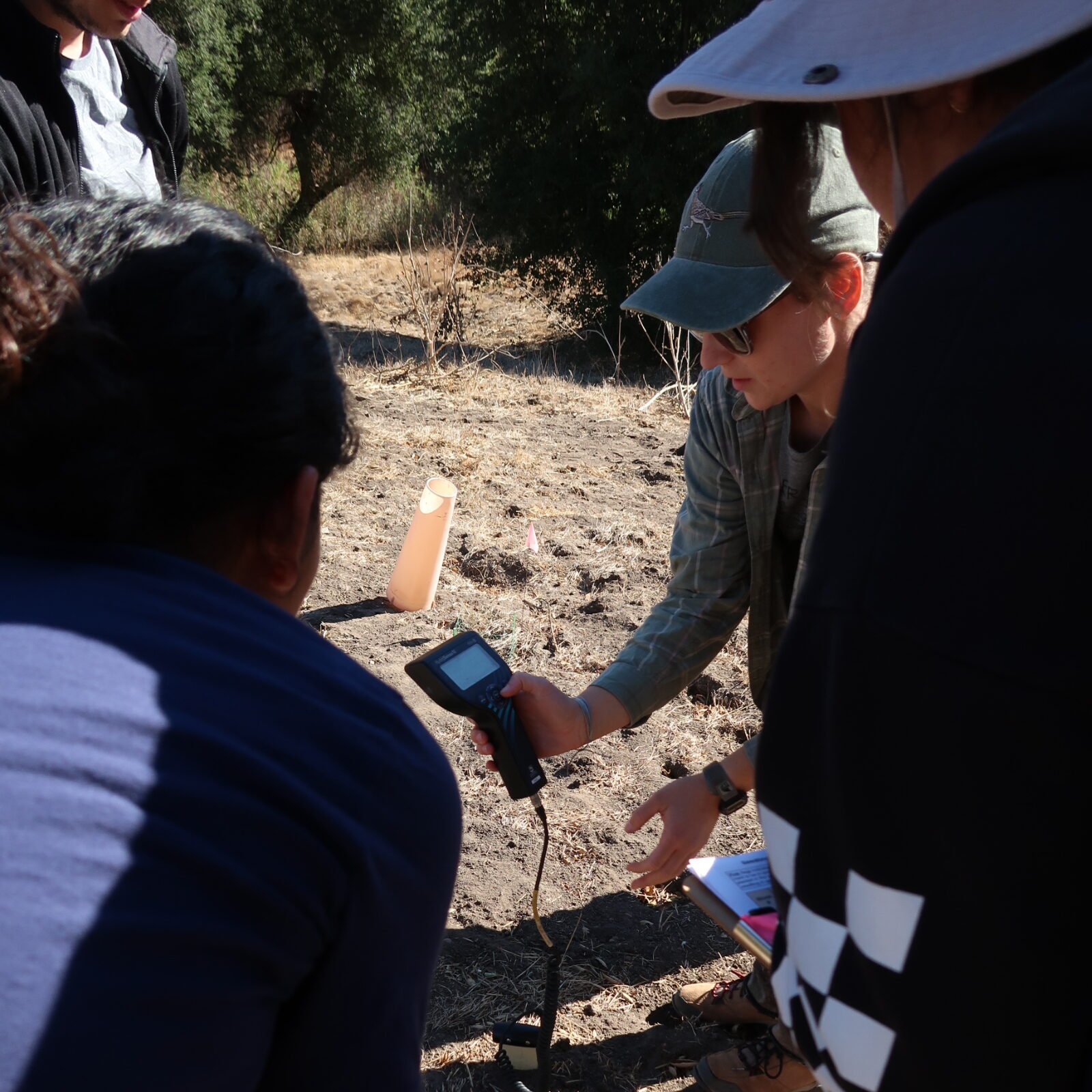
Rainfall has become increasingly variable due to global climate change. How resilient are local plant communities to increases or decreases in water and nutrient availability? This capstone project will focus on the Loma Ridge Global Change Experiment, in which rainfall and nitrogen have been experimentally manipulated since 2007. The capstone team will collect physiological trait measurements on plants within the plots and analyze long-term plant community data to evaluate connections between plant traits and response to global change. Additional analyses could focus on community response to “relaxing” half of the treatments for a period of several years and on community response following wildfire. There are opportunities to collaborate with the team of microbial scientists who work on the plots, perhaps investigating plant-microbe feedbacks in response to the global change manipulations.
The goal of this project is to evaluate the effectiveness of restoration for providing healthy habitats. How do the native plants interact with weather conditions to influence insect and bird communities at Crystal Cove State Park? How can data collected in the past be used to determine optimal future restoration as part of the adaptive management process? One goal of restoration is to increase habitat health for multiple trophic levels, yet measurements are rarely conducted beyond the plant community. The initial objective is to assemble a diverse native community that is resilient to future stressors such as invasion by non-native species and drought. Current objectives are to utilize approaches that address known uncertainty in weather patterns in southern California and guide future management decisions on how to achieve different levels of ecological diversity, stability, and function.
This project is a collaboration between the Center for Environmental Biology, Crystal Cove State Park, and the Crystal Cove Conservancy. The aims of the project are to identify best practices for restoring native coastal sage scrub and California prairie habitat through an ecological restoration experiment. Specifically, the experiment will allow us to: (1) compare the effects of restoration of coastal sage scrub versus California prairie on ecosystem processes such as water and nutrient cycling and biodiversity; (2) measure the minimum required maintenance efforts for California prairie community persistence; (3) clarify the role of inter-annual variation in precipitation on restoration techniques; and (4) identify the types of species that will be most sustainable in a restored coastal sage scrub community. The project is entering its fifth year. The MCRS capstone project will focus on analyzing existing data, collecting any new data necessary to fill in knowledge gaps, and making management recommendations for the site based on results.
Entanglement in gill nets and other marine debris is a major cause of mortality in marine mammals, sharks, and other large-bodied marine animals, including endangered and protected species. Gill nets are large fishing nets made of clear mesh designed with holes large enough for a fish’s head to pass through, but not the body, entangling the gills. Entanglement can prevent proper feeding, constrict growth, cause infection, drown entangled animals, or cause extreme fatigue as animals carry them for miles during migration and foraging. While the United States and California have many policies regulating the use of gill nets and mandating technologies to reduce bycatch, gill nets remain a large source of mortality and injury. Over 200 marine mammals were incidentally recorded as killed by gill nets between 2014 and 2018, likely a substantial undercount. Locally, the animal rescue team at Pacific Marine Mammal Center (PMMC) have observed concerning increases; six gillnet-entangled sea lions were rescued in Orange County in April 2021 alone.
While NOAA collects information on entanglements by species and fishery gear type, the scope of the problem is not well understood, and an assessment of impacts in southern California or Orange County is needed. This project proposes to aid in adaptive management of marine mammals by examining prevalence and sources of gillnets (and potentially other fishing gear) leading to entanglement in marine mammals through one or more (based on student interest and feasibility) of the following potential project directions:
- What is the prevalence of sea lion gill net entanglement? Students will conduct field surveys and analyze camera data to identify and count entangled sea lions at Dana Point Harbor/Marina.
- Are marine mammal entanglements seasonal? Students may analyze NOAA entanglement records for the southern California region for demographics, seasonality, locations, impacts, and debris type.
- Which fisheries are active at the time of year with the most entanglements, and does the type of gear involved in recorded entanglements match the probable fishery? Students may analyze archived entanglement material at PMMC or NOAA records.
- Possible Extensions:
- Policy analysis: Many existing policies regulate the use of gillnets; students would research and summarize existing policy, enforcement and efficacy, and write an evaluation of current and proposed future policies.
Science communication: Results of this study may be developed into educational curricula to be used by docents and educators at the Pacific Marine Mammal Center to educate adults and children about more sustainable fishery methods.
Local records indicate White-tailed Kites (WTKI) have consistently foraged and nested within open space areas on the University of California Irvine for over 50 years. Unfortunately, the activity and number of nesting pairs have declined dramatically, particularly the last couple decades, both on UC property and in the region more generally. Observations the last several years indicate that the University property is one of only a few remaining areas in Orange County where kites are nesting. Open space lands within UC Irvine include lands enrolled in the central-coastal Orange County Natural Communities Conservation Plan and within the UC Natural Reserve System. To maintain existing nesting pairs, and hopefully encourage additional pairs in the future, the University would like to support research that will inform management recommendations for an Interim White-tailed Kite Management Plan for the campus and immediate vicinity. To understand possible causes and the extent and intensity of decline, a thorough summary of historic data is necessary. This summary could facilitate subsequent visits to former territories and provide context for the campus populations relative to others in the region. In addition to a summary of historic data in the region, study will summarize knowledge gaps and conduct field studies to gather necessary information to guide future management actions. The capstone group will work with UC Irvine Nature staff, consultants, and volunteers on the White-tailed kite study and development management recommendations. Key questions and tasks, roles, and estimated costs of the capstone group are identified below.
- Understand population trends & status based on summaries of existing data.
- Identify data gaps
- Determine habitat use & monitor birds
- Use incidental and trained volunteer observations to assess habitat use in reserves and county (if enough data)
- Assist in fitting transmitters to adult birds and in reviewing data and creating a GIS database.
- Evaluate habitat correlates- vegetation type, water access,
- Monitor existing nests & assess territory status
- Monitor campus nests
- Revisit historical nesting territories to determine status
- Assist in writing final report & management recommendations
Students will gain experience with bird observation, nest monitoring, GIS, working with volunteers (through citizen science) to collect data, and possibly working with transmitters and potentially small mammal trapping. The complexities of urban wildlife conservation will also be highlighted.